SYS_STATUS: OPERATIONAL
ALT: 400ft AGL
COORDS: 39.4382°N 82.5385°W
THERMAL: ACTIVE
WIND: 4.2 kts NNW
TEMP: 52°F
HOCKING HILLS, OH
Hocking Hills Thermal Drone Services
PROFESSIONAL
DRONE SERVICES
Drone Services for Deer & Pet Recovery, Aerial Photography, Aerial Marketing Videos, Interactive 3D Exterior Modeling, Construction Progress Tracking, and Wildlife Census Surveys.
// Tactical Specializations
Mission-Grade
Capabilities
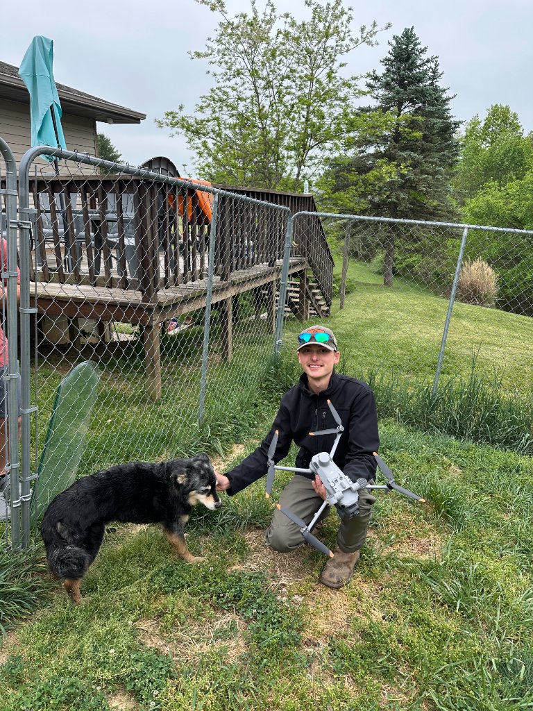
Deer & Pet Recovery
Time-critical thermal search missions for lost pets and injured deer. Our thermal sensors detect heat signatures invisible to the naked eye, even through dense brush and foliage. Travel fee applies for distances more than 45 minutes.
Pricing
Call Out Fee $250 / Recovery Fee If Found $100
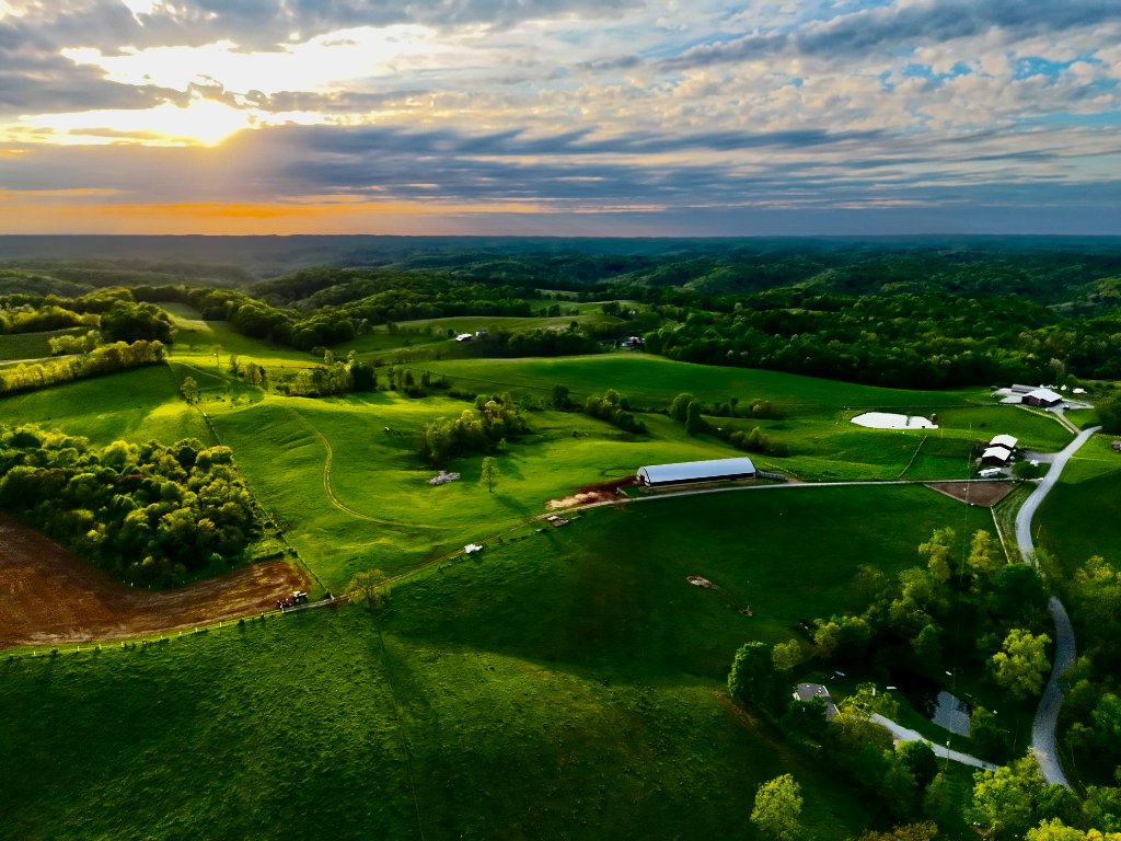
Aerial Photography
Breathtaking high-resolution aerial imagery of the Hocking Hills region. From real estate to events, capture perspectives that ground-based cameras simply cannot achieve.
Pricing
Starting at $125

Aerial Cinematic Videos
Learn More →Professional-grade cinematic footage with smooth, stabilized flight paths. Perfect for real estate tours, promotional content, and documentary-quality productions.
Pricing
$75 additional to aerial photography cost
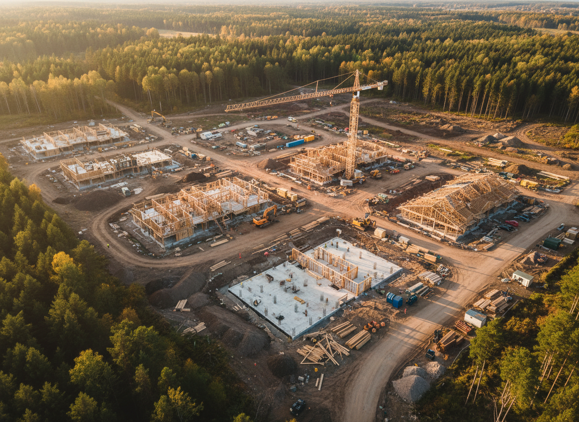
Aerial Construction Progress Tracking
Learn More →Systematic aerial documentation of construction milestones. Track progress with calibrated flyovers, orthomosaic maps, and volumetric measurements.
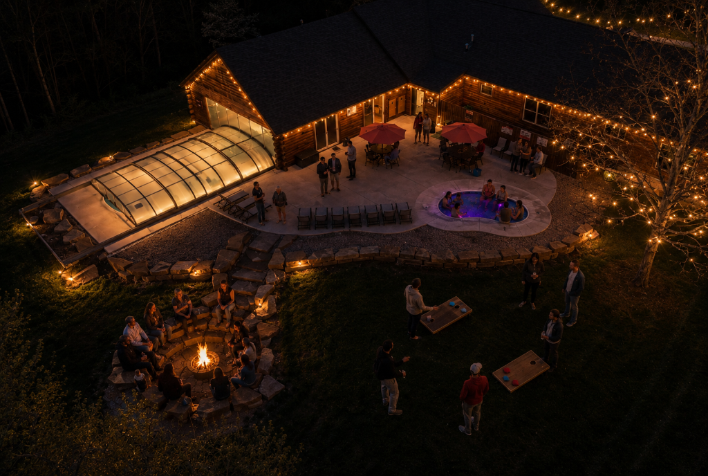
Vacation Experience Photography
Book This Service →Capture your Hocking Hills getaway from breathtaking perspectives. Perfect for cabin rentals, glamping retreats, and family vacations — aerial memories that last a lifetime.
Pricing
Starting at $200
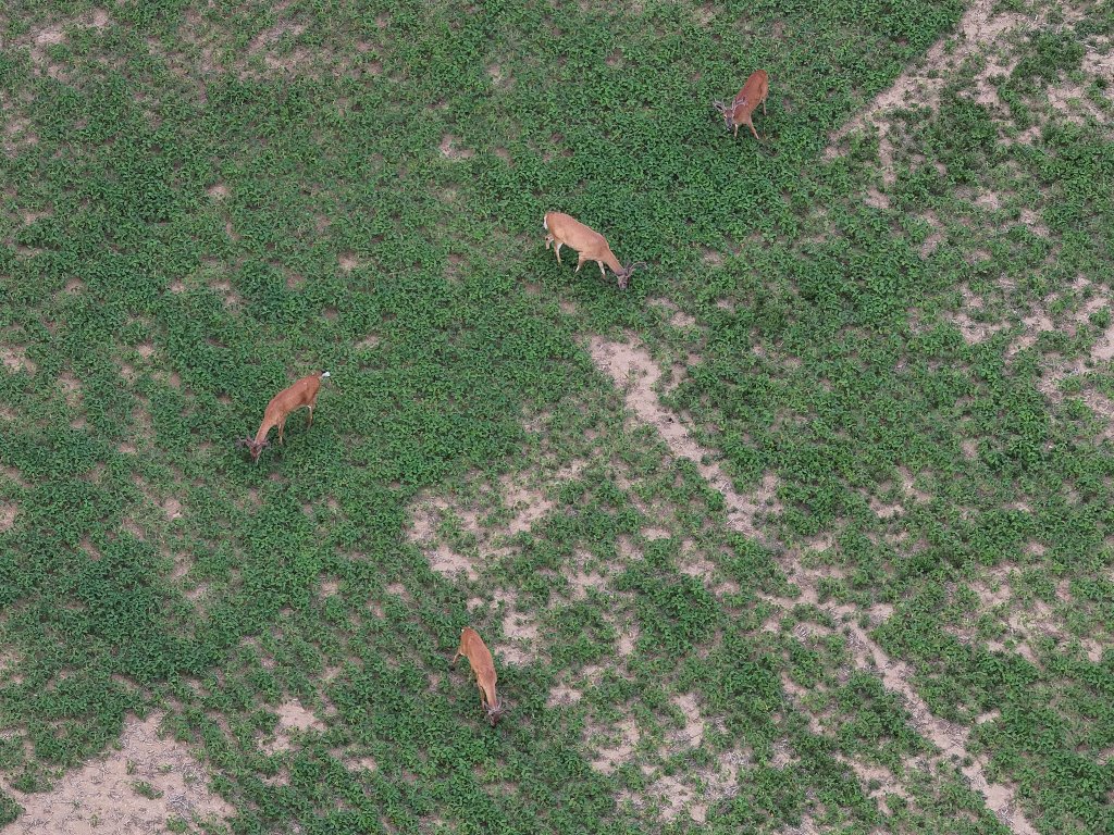
Wildlife Census Survey
Learn More →Comprehensive thermal aerial surveys for wildlife population mapping and habitat assessment. Ideal for landowners, wildlife managers, and conservation groups seeking accurate population data across large tracts of land.
Pricing
Starting at $200
// Thermal Truth
See Beyond
The Visible
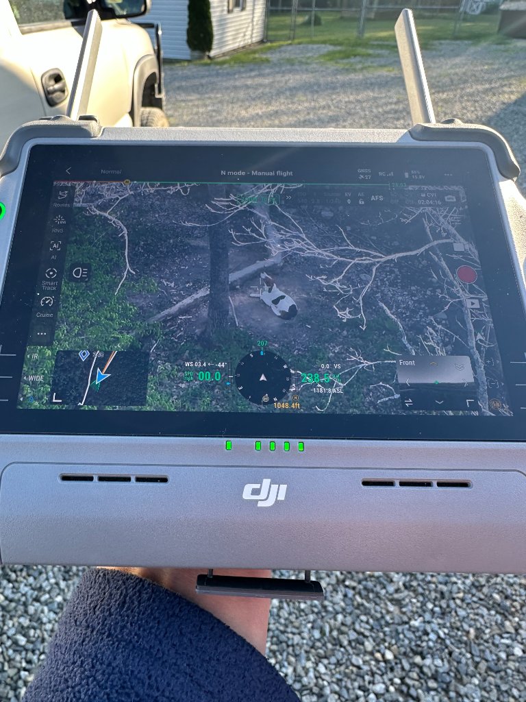
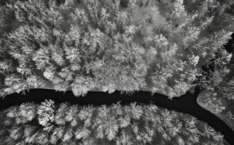
Drag the divider to reveal what thermal imaging uncovers — heat signatures of animals and objects completely hidden from standard cameras.
High
Detection Rate
< 2 Hours
Avg Recovery Time
640×512px
Thermal Range
Multi-Mile
Effective Range
// Mission Outcomes
Success Stories
From the Field
Brandon Chamberlain
Darbyville, Ohio
Dog
Located in under an hour
"Super quick response and after 48 hours missing he located our dog in under an hour! Best price and nicest guy you could possibly ask for! 10/10"
Recently
Adam Newsome
Hocking Hills
Dog
Found and reunited
"Young man was very passionate about his work and did everything he could to help us find our dog definitely recommend his services."
Recently
Destany Sawyer
Circleville, Ohio
Dog - Charlie
Located in less than an hour
"He drove an hour to come help us locate Charlie two days after he went missing and found him in less than an hour! Only wish we would've known about this guy sooner!!"
2 days ago
Sarah Mitchell
Columbus, OH
Aerial Photography
Property listing transformed
"The aerial photos completely elevated our real estate listing. The quality and perspective made our property stand out immediately. Sold in 2 weeks!"
3 weeks ago
The Johnsons
Hocking Hills
3D Exterior Model
Airbnb bookings doubled
"The 3D model of our cabin rental is incredible. Guests love seeing the property in full 360 before booking. Best marketing investment we've made."
1 month ago
Lisa Chen
Hocking Hills
Vacation Experience
Memories captured beautifully
"The aerial footage of our family vacation was absolutely stunning. We got shots we could never have taken ourselves. Worth every penny!"
2 weeks ago
// About the Operator
Precision From
Above
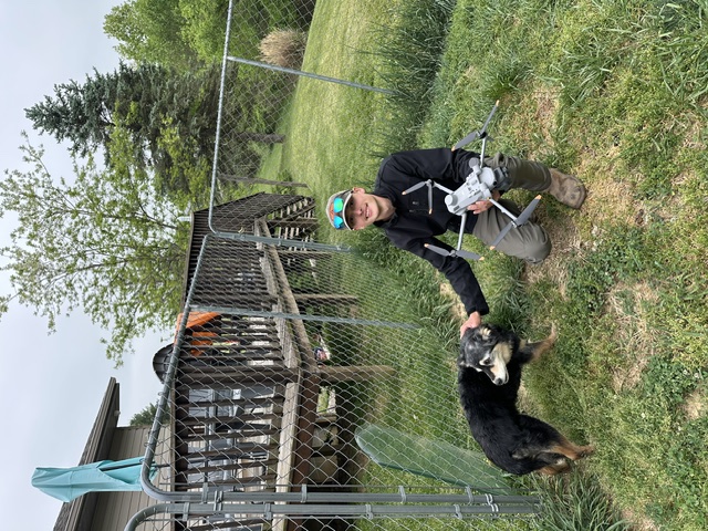
Hocking Hills Thermal Drone Services provides cutting-edge aerial intelligence across Southeast Ohio. Specializing in thermal recovery operations, construction documentation, and cinematic production, we bring military-grade imaging technology to civilian applications.
Whether you've lost a beloved pet in the dense Appalachian forest or need precise 3D documentation of a construction project, our fleet of thermal and visual sensor platforms delivers results that ground-based methods simply cannot match.
FAA Part 107 Certified
Fully licensed and insured commercial drone operations.
Local Expertise
Deep knowledge of Hocking Hills terrain, weather, and airspace.
Professional Grade
Enterprise-level thermal and visual sensor platforms.
Rapid Response
Sub-2-hour deployment for emergency recovery missions.
// Command Center
Get In
Touch
Reach out directly — we're available 24/7 for emergency deer and pet recovery, and during business hours for all other services.